Browse Items (117 total)
Sort by:
A magazine article listing the postings of British troops throughout the empire.
Tags: 1779, British army, Hanover regiment, Scots Magazine
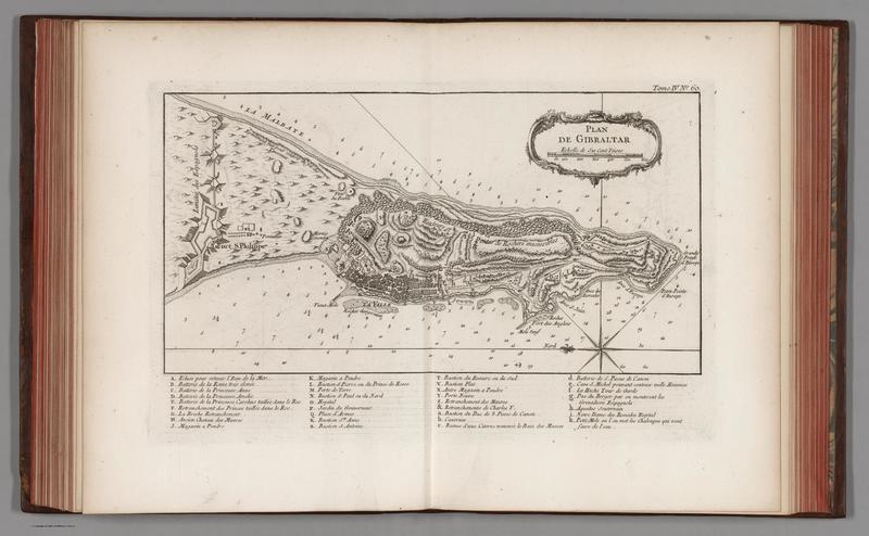
Tags: Gibraltar, John Singleton Copley, painting, siege
This is the full account of the anonymous account of the Siege of Gibraltar excerpted in newspapers and magazines in 1781.
Tags: 1781, 18th century, female author, Gibraltar, pamphlet, Siege of Gibraltar
The account of the Siege of Gibraltar written by Samuel Ancell, clerk to the 58th Regiment of Foot stationed on Gibraltar.
A loyalist newspaper in New York published a list of members of Continental Congress in 1779, stating them to be members of the "rebel congress."
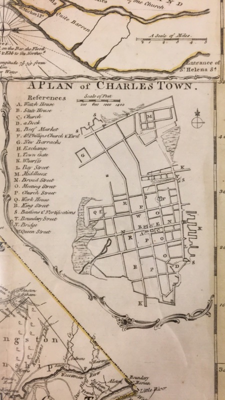
Map-maker James Cook draws out the geography of the Province of South Carolina for government officials in 1773, focusing in on metropolitan areas such as Charleston.
Tags: 1773, Charleston, Colonies, Revolutionary War, South Carolina


