Browse Items (6 total)
- Tags: Map
Sort by:
A map of Bristol completed in 1750 by surveyor John Rocque. Includes detailed streets and buildings, as well as ten accompanying illustrations featuring the Exchange of Bristol and several views of the city.
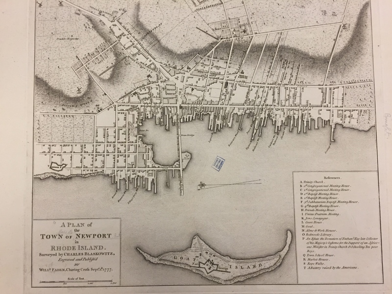
Tags: 1777, Fort George, Goat Island, Map, Newport, Rhode Island
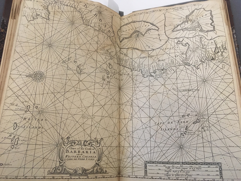
Atlas of Senegal and the Coast of West Africa. Contains navigational information and an overview of the settlements on the West African coastline.
Tags: 1720, Atlas, Barbary, Early 16th Century, English, Gambia, Map, Sailing Charts, West Africa
A layout of the city plan of Albany, particularly including military fortifications. Includes a map of Albany's central fort, Fort Frederick.
Tags: Albany, Fort, Fort Frederick, Hudson River, Map, New York, NY
Map of Newport, RI published in September of 1777.
Tags: 1777, Blaskowitz, Map, Newport, Plan, Rhode Island
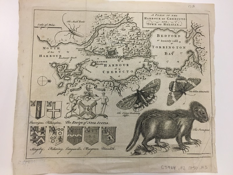
Detailed map of Halifax, Nova Scotia and the Harbour of Chebucto.
Tags: 1750, Halifax, Map, Nova Scotia


