Browse Items (117 total)

http://dighist.fas.harvard.edu/courses/2017/hist1002/files/original/ca3666827d77653fb9ef8de1c0204937.jpg
A layout of the city plan of Albany, particularly including military fortifications. Includes a map of Albany's central fort, Fort Frederick.
http://dighist.fas.harvard.edu/courses/2017/hist1002/files/original/d3a37d95e3103c932c588c40a20dbc43.JPG
The map of Kingston Harbor includes depths, places to drop anchor, landmarks, and ways to enter ports, as well as descriptions of how to pilot between the ports. In other words, it is a navigation chart.
http://dighist.fas.harvard.edu/courses/2017/hist1002/files/original/456e9eb3454ea43be699bc4619b9e1ae.JPG
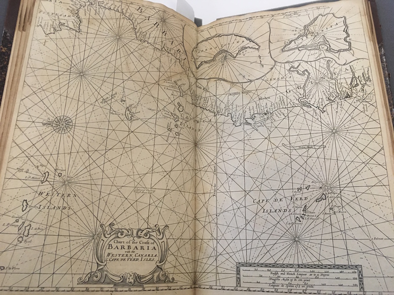
Atlas of Senegal and the Coast of West Africa. Contains navigational information and an overview of the settlements on the West African coastline.
http://dighist.fas.harvard.edu/courses/2017/hist1002/files/original/26b73e3dbe6f7b5a844af27bc85356be.jpg
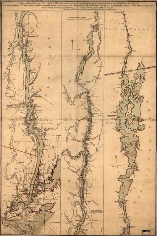
Depicts the townships of Delaware, New Jersey, New York, Pennsylvania, and Connecticut and maps the geographical landmarks of these areas, including rivers, forests, mountains and coastlines.
http://dighist.fas.harvard.edu/courses/2017/hist1002/files/original/b11ef64bb7a86545ab547ac6032a3e1e.jpg
LC Maps of North America, 1750-1789,
A newspaper printed in Albany for the week of July 15, 1782.
http://dighist.fas.harvard.edu/courses/2017/hist1002/files/original/cd3b1449398da3fd1613e517604f3931.pdf
Four pages from September 1781 issue of The Scots magazine, published in Edinburgh. These pages give accounts of the Siege of Gibraltar, a battle in the American Revolutionary War.
An assessment of the consequences of Britain's territorial acquisitions at the end of the Seven Years' War, particularly their effects on the slave trade with West Africa and the slave-driven plantation industry in the West Indies. Written by Robert…
Advertisement for various ideas for sale
A geographical and historical account of Nova Scotia and Halifax.
Output Formats

atom, dcmes-xml, json, omeka-xml, rss2